The 17th IASTED International Conference on
Applied Simulation and Modelling
ASM 2008
June 23 – 25, 2008
Corfu, Greece
TUTORIAL SESSION
Introduction to Using the Soil Water Assessment Tool Model Integrated with ArcGIS 9 with Demonstration
Abstract
Objectives
Timeline
Tutorial Materials
Target Audience
Background Knowledge Expected of the Participants
Qualifications of the Instructor(s)s

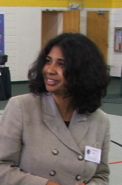
Dr. Barnali Dixon is an Associate Professor at the University of South Florida in the Environmental Science, Policy & Geography Department and Director of the Geo-Spatial Analytics Lab. She has extensive experience in the application and teaching of Geographic Information Systems (GIS), remote sensing, Global Positioning Systems (GPS), geostatistics, fuzzy logic and neural networks for environmental modeling. Her areas of research interests include advancement of environmental modeling through enhancement of remotely sensed data (image processing) and GIS using fuzzy logic, neural networks and neuro-fuzzy techniques. Dr. Dixon has applied environmental models including soil erosion, surface and ground water quality, ground-water vulnerability, watershed risk assessment and management (soils, land-use and water quality relationship), contaminant transport processes, land-use and ground-water recharge, rainfall-runoff simulation, and land-use planning (urbanization, soils and water quality relationship).
Julie Earls is a full-time Research Scientist at the University of South Florida and Lab Manager of the Geo-Spatial Analytics Lab. She has used the SWAT model for over 4 years, beginning with attending workshops on the Beginner and Advanced SWAT model at Texas A&M University where the majority of the training and model dissemination of the model continues to occur. She has utilized and tested the model for various research projects over multiple drainage basins and has presented the results at conferences such as Applied Geography, Interdisciplinary Environmental Association, Soil Science Society of America, Association of American Geographers, Florida Academy of Sciences, American Society of Photogrammetry and Remote Sensing and American Water Resources Association. She has also published her results in many of the above-listed conference proceedings as well as the WIT Press River Basin Management III from 2005 and a special issue of the SSSA Vadose Zone Journal on Multi-Scale Mapping set to come out in early 2008.
References
| [1] |


